
UPside Community Services
UPside’s purpose is to change the narrative of people’s lives by coming alongside all people, building them up through emotional health, economic freedom and educational opportunity programmes, to help move people from brokenness to wholeness, hopelessness to freedom.
upcoming events

UPSIde black-tie fundraiser
date: 2 August 2025
UPside will be hosting a formal black-tie fundraising event. All proceeds from the event will go towards expanding the work of UPside in our communities.
Support our work while enjoying some fine dining, music, dance and laughter at a fantastic venue.
counsellor training
dates: Click below for schedule
UPside offers certified Foundation and Advanced Community Counsellor training courses in South Africa and topic driven short-courses.
The courses support an integrated approach from a Christian worldview.

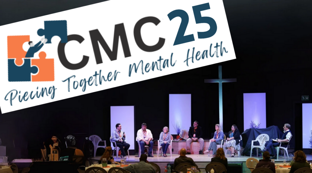
Mental health convention
date: 3 & 4 October 2025
The 2025 Community Mental Health Convention is almost on us.
Are you involved in the mental health landscape?
community education
DATE: click below for schedule
UPside offers a range of topics on mental health, education and access to economic opportunities.
We use expert speakers to help educate and inform our communities.

upside community programmes

emotional
health
We believe that emotional well-being is the foundation for a fulfilling life. Through compassionate counseling and mental health support, we provide individuals with the tools to navigate life’s challenges, build resilience, and foster meaningful connections.

economic
freedom
Financial stability opens the door to endless possibilities. We empower individuals with the knowledge, skills, and opportunities to achieve economic independence—whether through career development, entrepreneurship, or financial literacy—ensuring a future of security and success.

educational
opportunity
Education transforms lives, and we are committed to breaking down barriers to learning. By providing access to quality education, scholarships, and skills training, we equip individuals with the knowledge and confidence to create a brighter future for themselves and their communities.
latest blog posts
Sign up to get occasional news & stories
Get access to Upside news and announcements by subscribing here.


